 |
 |
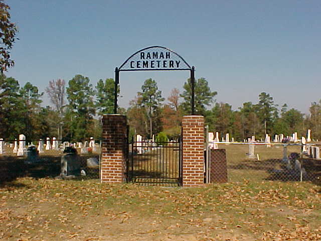
| Ramah Cemetery |
Shelby County Texas
 |
 |
Transcribed by Leonard Irish and Ray Jackson November 13, 1999
Take Highway 96 North to Tenaha and Highway 84, turn right, east, onto 84 and continue for 3 miles to the Ramah Baptist Church. The cemetery is across the railroad tracks on the left side of the road.
GPS -94.216091 Longitude, 31.952478 Latitude
Annual Reunion, First Saturday in June.
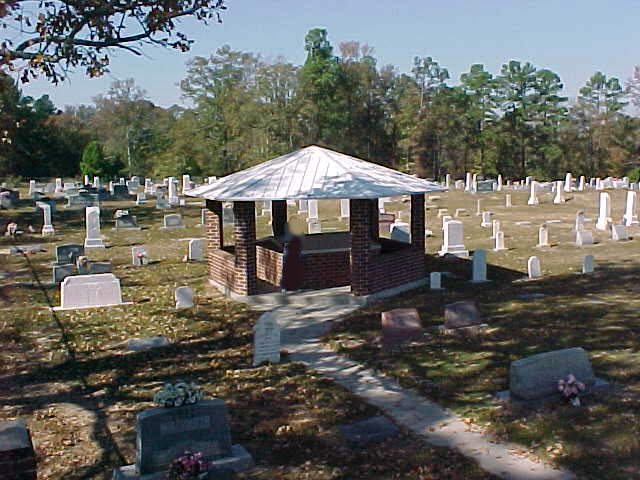
History of the Ramah Cemetery and Its Land Donations The oldest marked grave found in Ramah Cemetery is dated 1878. This cemetery is located on land later deeded for burial by William Tell Pou. In 1909, William tell Pou deeded 3.6 acres of land to Ramah Church, with approxmently 3 acres used for the cemetery. J. E. Christian deeded an additional 1/3 acre in 1958. The Christian Broadcasting Company deeded another 2 acres as directed by William Tell Pou in 1979, along with another acre deed by Mattie Christian, et al, in the same year. At this time, 1979, the cemetery contained approxmently 6 acres of land. In 1990, special improvements were made to the inside service road. This work was made possible due to donation made by the Corine Martindale Wood and the Winnie Mae Rich Families. The two grave location maps under this shelter was furnish by Robert and Fourlance Anderson and dedicated to the Ramah Cemetery Association in 1990 by the following: Dick Templin |